
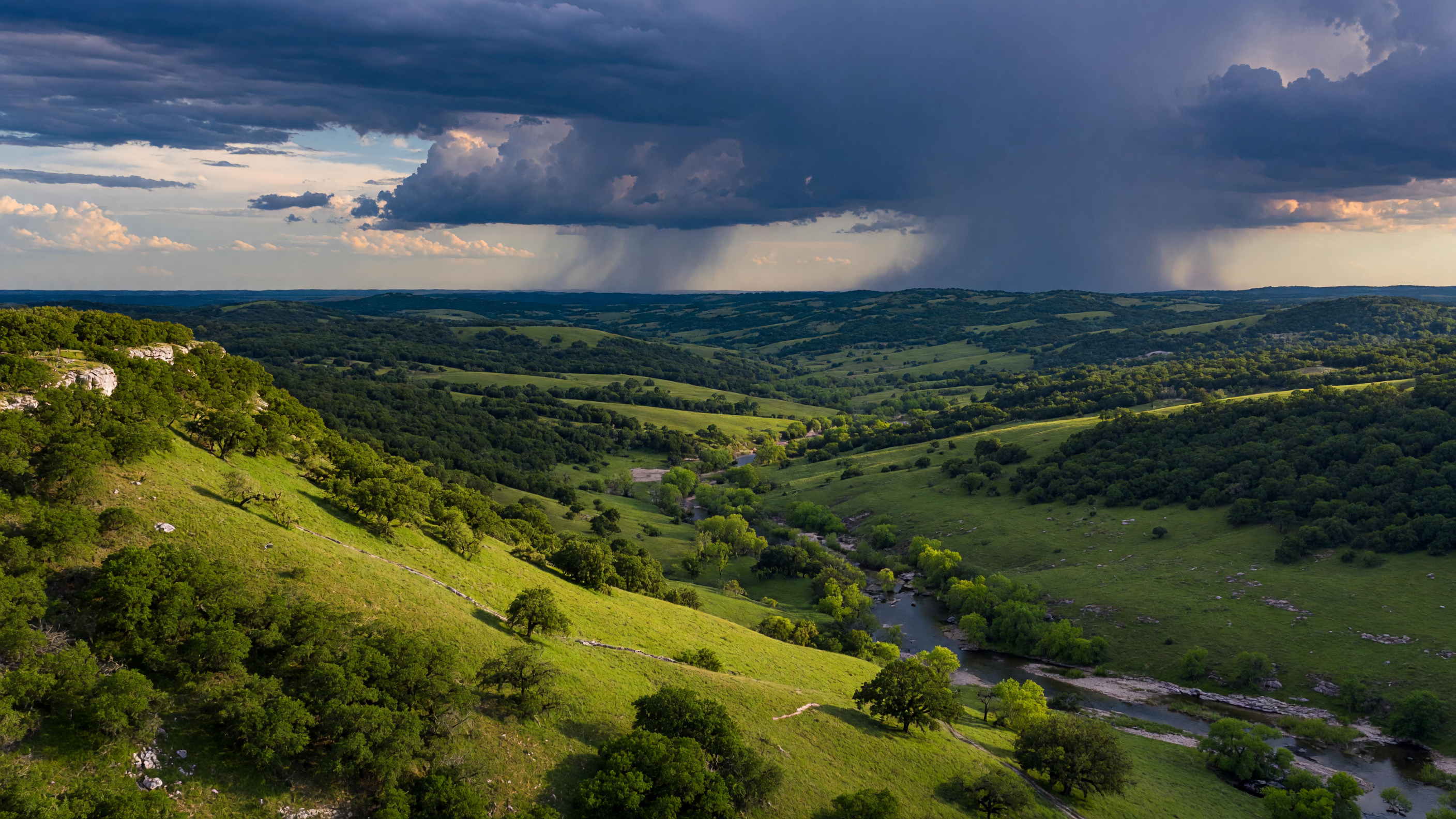
The Texas Hill Country is entering what forecasters expect to be one of the most significant El Niño events in recent decades. NOAA's Climate Prediction Center has confirmed El Niño conditions and projects an approximately 88% probability of a strong event, with a 63% chance it reaches very strong — or "super" — intensity by the 2026–27 winter [1][2]. For a region that has endured years of persistent drought, declining aquifer levels, and wildfire risk, the prospect of a major El Niño carries both genuine hope and legitimate concern.
This analysis examines what El Niño actually means for the Hill Country — not the headlines, but the data. We will look at the science behind El Niño teleconnections, walk through every significant El Niño event of the past seven decades with specific rainfall and impact data for the San Antonio and Hill Country region, and assess what the current forecast suggests for communities from Boerne to San Antonio to the Comal County line. The goal is to give homeowners, prospective relocators, and anyone living in this region a clear, honest picture of what is historically likely, what remains uncertain, and what practical steps are worth taking.
Predicted Timeline — 2026–27 El Niño Cycle
Forecast only — based on NOAA Climate Prediction Center current projections. Actual conditions may differ.
Fall 2026 (Forecasted)
Conditions developing — Sea surface warming trends toward El Niño; jet stream begins shifting southward
Late Fall 2026 (Forecasted)
Above-normal rainfall most likely begins — Subtropical jet stream steers recurring storms toward Texas
Dec 2026 – Feb 2027 (Forecasted)
Peak impact period — Strongest storm activity, highest flood risk, greatest rainfall totals. This is the window that matters most.
Feb–Mar 2027 (Forecasted)
Rainfall continues but weakening — Storm frequency decreasing, but individual events can still be significant
Spring 2027 (Forecasted)
Return to neutral — El Niño conditions fade, weather patterns normalize toward climatological averages
Fall 2026
Conditions
Developing
Late Fall 2026
Above-Normal
Rainfall Begins
Dec 2026 – Feb 2027
Peak Impact
Period
Feb–Mar 2027
Rainfall
Weakening
Spring 2027
Return to
Neutral
When to act
The months that matter most for Hill Country homeowners and relocators are December 2026 through February 2027. This is when above-normal rainfall, elevated flood risk, and peak storm activity converge. Prepare drainage, verify insurance, and plan travel before this window opens.
This timeline is a forecast based on current NOAA Climate Prediction Center projections for the predicted 2026–27 El Niño cycle and historical El Niño patterns for the Texas Hill Country. All dates shown are projections — actual conditions may develop earlier, later, or differ from these estimates. Forecasts are updated monthly. Last forecast basis: June 2026.
What El Niño Is and Why It Matters for Texas
El Niño is the warm phase of the El Niño–Southern Oscillation (ENSO), a recurring climate pattern driven by changes in sea surface temperatures across the central and eastern tropical Pacific Ocean [3]. During El Niño, waters in the Niño 3.4 region — a defined area of the equatorial Pacific — warm significantly above their long-term average. This ocean warming triggers a chain of atmospheric responses that alter weather patterns across the globe.
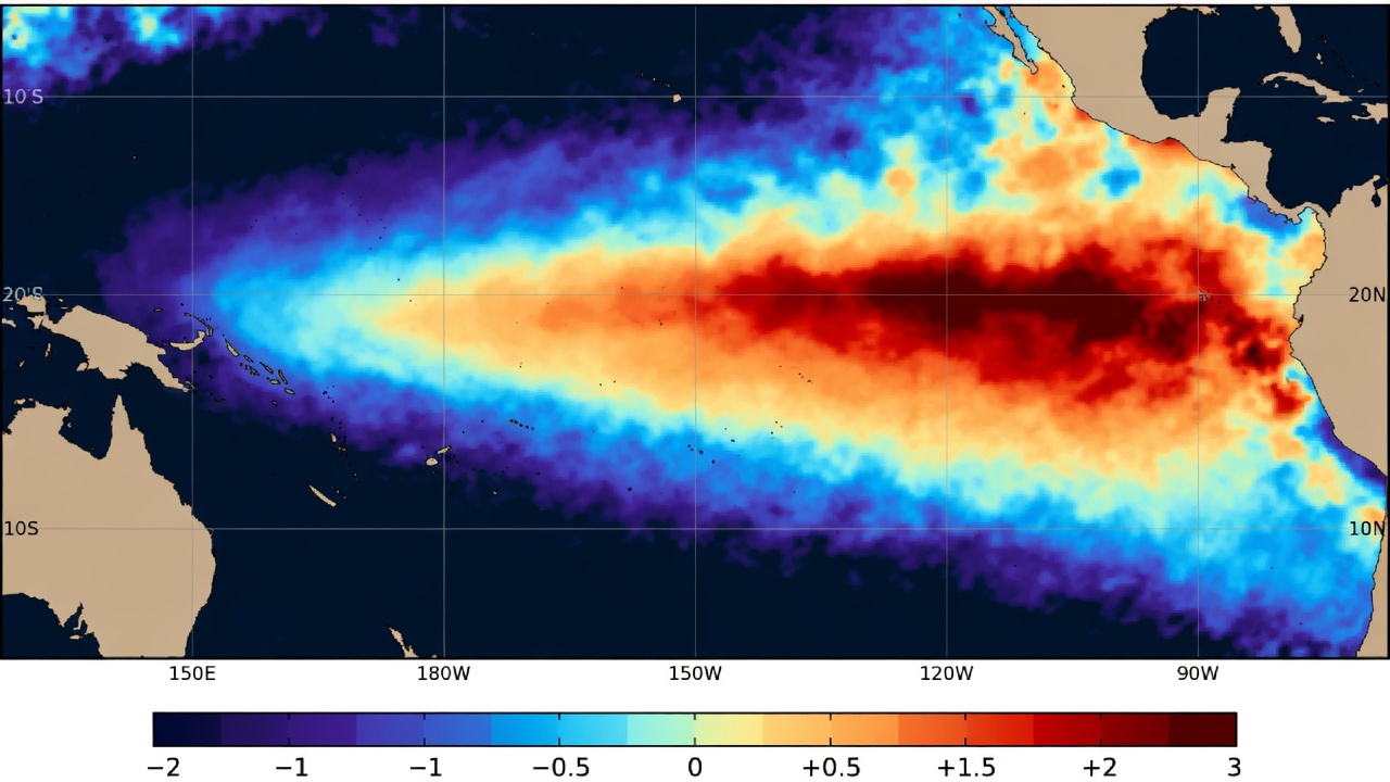
For Texas, the critical mechanism is the behavior of the Pacific jet stream. During El Niño, the subtropical jet stream strengthens and shifts southward, positioning itself closer to the southern United States [4]. This repositioned jet stream steers a more active storm track across Texas, particularly from late fall through early spring. These storms frequently tap into moisture from the Gulf of Mexico, producing recurring rounds of rainfall and increasing the frequency of cold frontal passages [5].
The ONI classification system measures El Niño intensity using the Oceanic Niño Index — the three-month running mean of sea surface temperature anomalies in the Niño 3.4 region. In February 2026, NOAA transitioned to the Relative Oceanic Niño Index (RONI) to account for background warming in a changing climate [1]. The intensity thresholds are:
| Classification | ONI/RONI Anomaly | Historical Examples |
|---|---|---|
| Weak | +0.5°C to +0.9°C | 2009–10 |
| Moderate | +1.0°C to +1.4°C | 2002–03, 2004–05 |
| Strong | +1.5°C to +1.9°C | 1972–73, 2009–10 |
| Very Strong | +2.0°C or higher | 1982–83, 1997–98, 2015–16 |
The current 2026 forecast places the event firmly in the strong-to-very-strong category, with some models suggesting it could rival the strongest El Niño events on record [2][6]. The WMO confirmed El Niño onset in its May 2026 update, noting that high oceanic heat content and expanding westerly wind anomalies support continued intensification [7].
Why El Niño Matters: The La Niña Drought Context
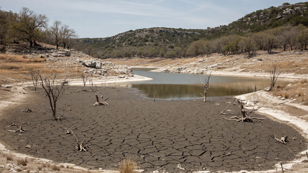
To understand why El Niño generates anticipation in the Hill Country, you need to understand what preceded it. La Niña — the cool phase of ENSO — typically shifts the jet stream northward, diverting moisture-bearing storm systems away from Texas and producing warmer, drier-than-normal conditions [8]. This is the pattern that has dominated the region's recent climate history.
Texas experienced consecutive La Niña events from approximately 2020 through 2023, establishing a multi-year drought of increasing severity. The 2023–24 El Niño, while technically present, "stubbornly refused" to deliver the expected precipitation to San Antonio and the surrounding Hill Country [9]. The 2024 calendar year recorded only 23.95 inches of rainfall in San Antonio — well below the 32.38-inch annual normal [10].
The consequences have been measurable. As of April 2026, the U.S. Drought Monitor reported 88% of Kendall County in extreme drought, with an additional 2.2% in exceptional drought — the most severe classification [11]. Bexar County showed a mix of moderate (39.4%), severe (27.4%), and extreme (33.1%) drought [11]. The Edwards Aquifer's J-17 index well — the key indicator for San Antonio's water supply — was reading 641.3 feet above mean sea level in June 2026, roughly 20 feet below its historical average of approximately 660 feet [12][13].
On May 30, 2026, the Edwards Aquifer Authority eased from Stage 3 to Stage 2 Critical Period Management, requiring groundwater permit holders to reduce pumping by 30% [13]. For context, Stage 3 — the level just above where the aquifer stands now — triggers mandatory restrictions on outdoor watering for SAWS customers, with landscape irrigation limited to once per week on designated days [14].
This is the baseline. The Hill Country enters the 2026–27 El Niño with depleted aquifer levels, stressed vegetation, and communities already accustomed to water-use restrictions. The question is not abstract — it is whether this El Niño will deliver the kind of sustained precipitation that meaningfully recharges groundwater, replenishes reservoirs, and eases the drought conditions that have defined the past several years.
El Niño History in the Hill Country: A Decade-by-Decade Analysis
The relationship between El Niño and Texas precipitation is well-documented but not deterministic. El Niño increases the probability of above-normal rainfall — San Antonio averages roughly 58% more winter precipitation during El Niño years compared to non-El Niño years [15] — but it does not guarantee it. Some El Niño events deliver transformative rainfall. Others underperform. The historical record makes this variability clear.
Historical El Niño Events: San Antonio Annual Rainfall
The following table compares San Antonio's annual rainfall during major El Niño years against the 1991–2020 climate normal of 32.38 inches [10][16]. Where available, calendar-year totals are used; note that El Niño's strongest effects typically concentrate in the November–March window, so the preceding or following calendar year may capture different phases of the event.
| El Niño Event | Intensity | SA Annual Rainfall | vs. Normal (32.38″) | Key Hill Country Impacts |
|---|---|---|---|---|
| 1957–58 | Strong | 39.7″ (1958) | +22.6% | Historic floods ended the devastating 1951–56 drought — the longest and most severe drought in modern Texas history [17] |
| 1965–66 | Moderate | 21.4″ (1966)* | −33.9% | Lake Travis rose 40–50 feet during peak rains [18]; reservoir recovery significant despite modest annual totals |
| 1972–73 | Strong | 52.3″ (1973) | +61.4% | Wettest year on record for San Antonio. Excessive rainfall further raised already-high lake levels. Statewide drought relief [17][16] |
| 1982–83 | Very Strong | 26.1″ (1983)* | −19.4% | One of Texas's top 20 wettest winters [18]; peak impacts concentrated in winter 1982–83 with significant reservoir recharge |
| 1997–98 | Very Strong | 42.1″ (1998) | +30.0% | Catastrophic October 1998 floods: 31 deaths, $750M–$1B in damage, up to 35 inches of rain in localized areas. First-ever Canyon Lake Dam spillway overflow created the Canyon Lake Gorge [19][20] |
| 2009–10 | Moderate | 37.0″ (2010) | +14.2% | 30–40% above-normal autumn/winter rainfall. Eased drought conditions across South-Central Texas. Major Christmas Eve blizzard in North Texas [21][22] |
| 2015–16 | Very Strong | 45.9″ (2015) | +41.7% | "Monster" El Niño with ONI of 2.5. Ended multi-year drought. October 2015 flash floods killed at least five in Central Texas [23][24]. SAWS lifted outdoor watering restrictions by December 2015 [25] |
| 2023–24 | Moderate | 24.0″ (2024) | −25.9% | El Niño "stubbornly refused" to deliver expected rainfall [9]. Drought persisted and intensified through the year. Edwards Aquifer remained in critical management |
* Calendar-year totals for 1966 and 1983 capture the tail end of their respective El Niño events. Peak precipitation impacts occurred in late 1965 and winter 1982–83, which would appear in the preceding calendar year's data. Sources: NOAA NWS, Extreme Weather Watch, San Antonio Water System [10][16].
Reading the Pattern
The data reveals two important truths:
- Strong El Niño events tend to produce above-normal rainfall, but not uniformly. The 1972–73 and 1997–98 events delivered rainfall 30–60% above normal. The 2015–16 event produced a 42% surplus in its peak year. However, the 1982–83 event — despite being classified as very strong — produced below-normal annual rainfall in San Antonio, with its impacts concentrated in the winter months rather than spread across the calendar year.
- El Niño does not always deliver. The 2023–24 event is the cautionary example. Despite reaching moderate-to-strong intensity, it produced one of San Antonio's driest years on record. Atmospheric conditions, storm track positioning, and competing climate variables can suppress El Niño's typical precipitation response.
For the current 2026–27 event, the forecasted strength provides reason for cautious optimism. Very strong El Niños have historically produced the most significant drought relief for Texas. But the historical record — particularly the underwhelming 2023–24 event — warrants intellectual honesty about the range of possible outcomes.
El Niño Year Rainfall: San Antonio Compared to Normal
The bar chart below visualizes San Antonio's annual rainfall during each major El Niño event alongside the 32.38-inch climate normal. Years with significant drought conditions prior to the event are noted.
San Antonio Annual Rainfall — El Niño Years vs. 32.38″ Normal
Sources: NOAA NWS, Extreme Weather Watch
What This Predicted El Niño Could Mean for the Hill Country
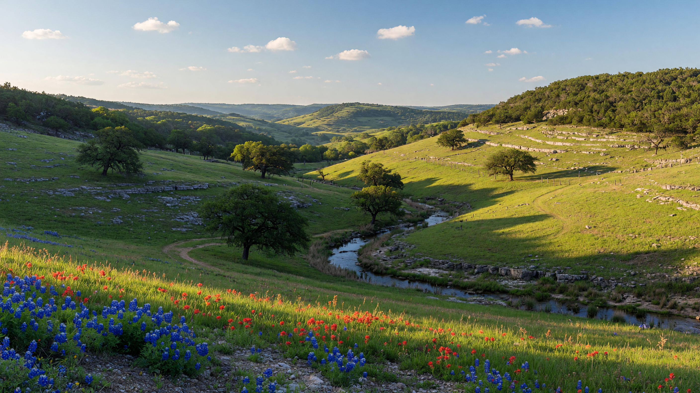
Based on the forecasted strength and historical precedent, here is a realistic assessment of what Hill Country communities may experience over the coming months.
Rainfall Projections
If the 2026–27 event reaches the projected very-strong category (ONI ≥ +2.0°C), the strongest historical analogues are 1997–98 and 2015–16. In those events, San Antonio received 42.1 inches and 45.9 inches of rainfall respectively — roughly 30–42% above the 32.38-inch normal [10][16]. A conservative estimate for a strong-to-very-strong event would place San Antonio's annual rainfall in the 38–48 inch range, with the bulk of the additional precipitation concentrated between October 2026 and March 2027.
However, the 2023–24 event — which produced only 24 inches despite reaching moderate intensity — demonstrates that El Niño is a probability amplifier, not a guarantee. The atmospheric response depends on additional variables including the Madden-Julian Oscillation, Pacific Decadal Oscillation phase, and Gulf of Mexico sea surface temperatures [3].
Drought Relief Potential
Strong El Niño events have historically provided meaningful drought relief. The 1957–58 El Niño ended the worst drought in modern Texas history. The 2015–16 event lifted SAWS outdoor watering restrictions by December 2015 [17][25]. Given the current severity of drought in Kendall County (88% extreme drought) and the Edwards Aquifer's depressed levels (J-17 at 641.3 feet versus the ~660-foot average), a strong El Niño would likely produce measurable improvement within three to six months of onset [11][12].
That said, the aquifer does not recharge overnight. The Edwards Aquifer responds to concentrated recharge events — periods of sustained heavy rainfall that saturate the recharge zone in northern Bexar, western Comal, and southern Kendall Counties. A strong El Niño increases the frequency of these events, but the aquifer will likely require an entire wet season to return to average levels.
Flood Risk
This is the critical counterweight to drought optimism. The Hill Country sits within what the National Weather Service designates "Flash Flood Alley" — one of the most flood-prone regions in North America [20]. The combination of steep limestone terrain, thin soils, and concentrated storm tracks creates conditions where rainfall rates can overwhelm drainage capacity rapidly.
The 1997–98 and 2015–16 El Niño events both produced catastrophic flooding:
- October 1998: A slow-moving storm system deposited 22 to 35 inches of rain across the Hill Country and Central Texas over three days (October 17–19). The Guadalupe, San Antonio, and Cibolo rivers experienced record flooding. Thirty-one people died. Approximately 48,000 homes were damaged. Total losses exceeded $750 million to $1 billion. The flood was powerful enough to create the Canyon Lake Gorge — a natural feature carved when Canyon Lake Dam's spillway overflowed for the first time in the lake's history [19][20].
- October 2015: Central Texas flash floods during the "monster" El Niño killed at least five people and caused widespread damage across the Hill Country [24]. The event was part of a broader pattern of recurrent heavy rainfall throughout the 2015–16 El Niño season.
A very strong El Niño increases the statistical probability of both the beneficial rainfall and the dangerous flooding events. These are not separate outcomes — they are the same weather pattern operating at different intensities.
Wildfire Risk Reduction
The inverse of drought relief is wildfire risk reduction. As of early 2025, fire danger in the Hill Country was elevated due to persistent drought and dead vegetation [26]. Extended El Niño rainfall would moisten fuels, reduce fire weather conditions, and lower the risk of the kind of destructive grass and brush fires that have periodically threatened communities in Kendall, Bandera, and western Bexar Counties.
Temperature Patterns
El Niño winters in Texas tend to be cooler than average — a direct result of the more active storm track and increased cloud cover [4]. For Hill Country residents accustomed to mild winters, this typically means more days in the 40s and 50s, occasional hard freezes (which carry their own risks for Hill Country infrastructure and landscaping), and fewer extended warm spells in January and February. The summer preceding the El Niño peak (summer 2026) is expected to be warmer than average, as the El Niño atmospheric response takes time to fully establish [7].
Hurricane Season Consideration
There is one reliable upside to El Niño for the Texas Gulf Coast: it suppresses Atlantic hurricane activity. El Niño increases vertical wind shear across the Caribbean and Gulf of Mexico, which disrupts tropical cyclone development [27]. The 2026 Atlantic hurricane season is likely to be less active than recent La Niña-driven seasons, reducing — though not eliminating — the risk of Gulf-origin tropical storms making landfall along the Texas coast.
Homeowner Preparation: What to Do Before the Rains Arrive

Whether the 2026–27 El Niño produces transformative rainfall or merely above-average precipitation, the practical response for Hill Country homeowners is the same: prepare for both outcomes. The following recommendations are based on guidance from FEMA, the Texas Division of Emergency Management, and the National Weather Service [28][29][30].
Drainage and Grading
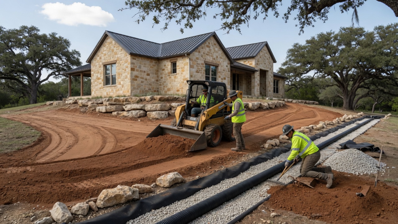
The single most impactful thing a Hill Country homeowner can do is ensure that surface water flows away from the foundation. Limestone terrain can create unexpected drainage patterns where water channels toward structures rather than away from them.
- Inspect and clear all gutters and downspouts. Extend downspouts at least 4–6 feet from the foundation.
- Verify that the grading around your home slopes away from the foundation on all sides. A minimum of 6 inches of fall over the first 10 feet is the standard recommendation.
- Clean or repair French drains, swales, and culverts that manage water flow on your property.
- For properties with septic systems, verify that the drain field is not in a low-lying area prone to saturation. Saturated drain fields fail, and repair costs are significant [31].
Roof and Structural
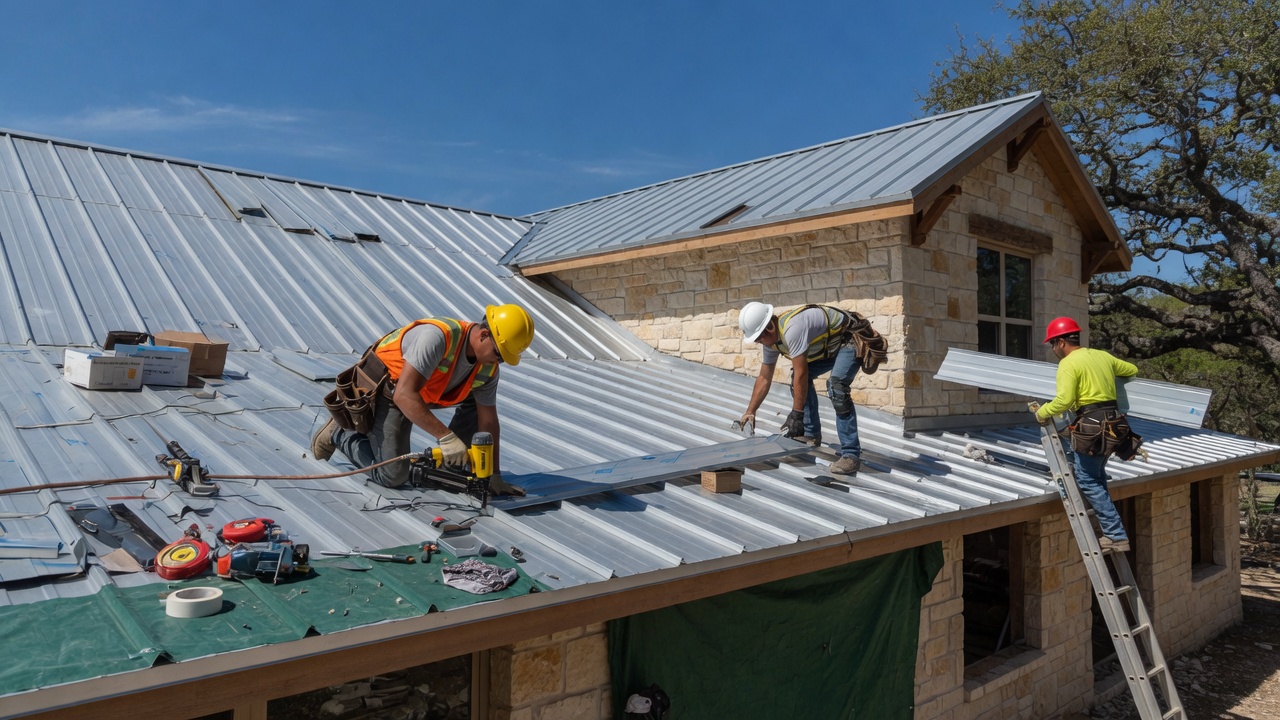
- Have your roof inspected for damaged or missing shingles, deteriorated flashing, and compromised seals around penetrations. A roof that handles normal rainfall can fail under the sustained, heavy precipitation that El Niño brings.
- Check attic ventilation and insulation. Moisture intrusion from prolonged wet weather can create mold conditions even without direct leaks.
- For homes with crawl spaces, ensure vents are clear and that moisture barriers are intact.
Flood Insurance
Standard homeowner's insurance does not cover flood damage. If your property is in or near a FEMA-designated Special Flood Hazard Area (Zones A or V), your mortgage lender likely already requires flood insurance. But many Hill Country properties outside high-risk zones still experience flooding — particularly in areas where development has altered natural drainage patterns.
Under FEMA's Risk Rating 2.0 system, flood insurance premiums are now calculated based on property-specific variables including distance to water sources, home elevation, foundation type, and historical flood frequency [32]. Approximately 80% of Texas policyholders have seen premium adjustments under this system. If you do not have flood coverage, the time to purchase it is before you need it — there is typically a 30-day waiting period before a new policy takes effect.
Emergency Supplies and Plan
- Assemble or update an emergency kit: minimum three days of water (one gallon per person per day), non-perishable food, medications, flashlights, batteries, first-aid supplies, and important documents in waterproof containers [28].
- Create a family communication plan. Identify evacuation routes from your property and your neighborhood. Know which roads in your area are known to flood.
- If you rely on a private well for water, consider a backup supply. Extended power outages during storms can disable well pumps.
- Photograph and video your home's interior and exterior for insurance documentation. Store copies in the cloud.
Floodplain Awareness
Boerne, Fair Oaks Ranch, and San Antonio all maintain local floodplain management ordinances that may be more restrictive than federal minimums [33]. If you are buying a home, ask your agent specifically about floodplain status, historical flooding on the property, and the seller's disclosure of any past water intrusion. In Hill Country terrain, properties that have never flooded can flood when upstream development or unusual rainfall patterns redirect water flow.
Don't Forget: Insurance Review
Before the rains arrive, take an afternoon to walk through your insurance coverage with your agent or broker. This is the kind of review that pays for itself if conditions get serious — and costs nothing but time if they do not.
- Flood insurance. Standard homeowner's policies do not cover flood damage. Even if your property is not in a designated flood zone, Hill Country flash flooding can affect properties on elevated terrain — water follows limestone shelves and underground fractures in ways that FEMA zone maps do not always capture. A separate flood policy through the NFIP or a private insurer typically carries a 30-day waiting period before coverage begins, so the time to act is well before any storm is forecast.
- Foundation and masonry coverage. Many Hill Country homes sit on limestone slab foundations or use native stone in their construction. Prolonged saturated soil around a slab foundation can cause shifting, cracking, or settling. Verify that your policy covers foundation repair and that masonry or stonework damage is not excluded — some standard policies limit or exclude settling-related structural damage.
- Sump pump and drainage readiness. If your home has a sump pump, test it now and verify that the discharge line routes water well away from the foundation. Consider a battery backup for extended power outages during storms. If you have a French drain or underground drainage system, inspect it for blockages or collapsed sections before the first heavy rain.
- Roof and gutter inspection. A roof that handles normal rainfall can fail under the sustained, heavy precipitation El Niño seasons bring. Have a qualified roofer inspect shingles or metal panels, flashing around penetrations, and gutter attachment points. Ensure gutters are clean, downspouts are extended at least four to six feet from the foundation, and splash blocks are in place.
Landscaping and Drainage Quick Wins
Two or three targeted landscaping adjustments can meaningfully reduce water intrusion risk around your home. These are straightforward projects that most Hill Country homeowners can complete in a weekend.
- Install French drains in low spots. If water pools near your foundation after rainfall, a French drain — a gravel-filled trench with a perforated pipe — redirects subsurface water away from the structure before it reaches your slab or basement walls. In Hill Country limestone terrain, a French drain is often the most effective solution because surface water can disappear into soil cracks and reappear closer to the foundation, where you do not want it.
- Re-grade soil to slope away from the house. The standard recommendation is at least six inches of fall over the first ten feet from the foundation on all sides. Over time, soil settles, landscaping adds material, and natural erosion can reverse the original grading. Adding fill dirt and compacting it to restore a positive slope is an inexpensive, high-impact fix.
- Plant native rain garden species in runoff zones. Native plants such as Gulf muhly grass, blackfoot daisy, and autumn sage thrive in Hill Country conditions and absorb significant runoff during heavy rainfall. A small rain garden planted in a natural low point or along a drainage swale slows water velocity, reduces erosion, and gives stormwater time to infiltrate rather than flowing directly toward structures or into storm drains.
What This Means for Prospective Relocators
If you are considering a move from California to the Texas Hill Country, the 2026–27 El Niño forecast creates both favorable and cautionary conditions worth understanding. For the full financial picture of relocating, review our California vs. Texas cost of living comparison.
The Positives
- Drought relief and landscape recovery. After years of dry conditions, a strong El Niño would green the Hill Country significantly. The wildflower displays, river flows, and aquifer-dependent springs that define the region's character depend on sustained precipitation. Communities like Boerne and Fair Oaks Ranch derive much of their quality of life from the natural landscape — and that landscape improves meaningfully with a wet El Niño season.
- Water supply improvement. The Edwards Aquifer — San Antonio's primary water source — would benefit from concentrated recharge events. This does not resolve the structural challenges of managing a finite groundwater resource in a growing region, but it provides near-term relief from the restriction levels that have defined the past several years [12][13].
- Lower wildfire risk. For buyers coming from California's fire-prone communities, the reduction in wildfire threat is a tangible quality-of-life improvement that El Niño precipitation delivers.
- Reduced hurricane risk. El Niño's suppression of Atlantic hurricane activity means fewer tropical storm threats to the Texas coast during the 2026 season [27].
The Risks
- Flooding can affect any property in the Hill Country. If you are buying a home during or immediately after a strong El Niño, pay particular attention to drainage, floodplain status, and the property's topographic position. Properties in creek bottoms, near river corridors, or at the base of steep terrain face elevated risk during heavy rainfall events.
- Road closures are a real disruption. Hill Country communities are connected by two-lane roads that cross creeks, rivers, and low-water crossings. During heavy rainfall events, these crossings flood — sometimes multiple times per month during an active El Niño season. Commutes, school access, and emergency response times can be affected.
- Inspection timing matters. If you are purchasing a home, an inspection conducted during dry conditions may not reveal drainage vulnerabilities that become apparent only under heavy rain. Consider whether scheduling an additional site visit during a significant rainfall event is feasible.
- Insurance costs may adjust. Significant flooding events in a region can affect flood insurance premiums and availability. FEMA's Risk Rating 2.0 incorporates local flood history into pricing [32].
A strong El Niño does not make the Hill Country a risky place to live. It makes it a more dynamic environment that rewards informed preparation. The communities in this region have been managing flood risk for generations — the infrastructure, building codes, and local knowledge exist. What matters is that new residents understand the landscape they are entering and take appropriate steps.
Preparedness Over Panic

Weather is inherently uncertain. Climate forecasts provide probabilities, not certainties. The 2026–27 El Niño may deliver transformative rainfall that recharges the Edwards Aquifer, ends the drought, and restores the Hill Country landscape to its full potential. It may also underperform, as the 2023–24 event did. Or it may deliver too much rain too quickly, producing the kind of flooding that has periodically devastated Central Texas communities.
The appropriate response to this uncertainty is not anxiety — it is preparation. Maintain your drainage infrastructure. Verify your insurance coverage. Know your evacuation routes. Keep an emergency supply current. Stay informed through the National Weather Service and local emergency management.
The Hill Country has always been shaped by weather extremes — droughts and floods, fires and freezes. The communities here are resilient because their residents understand the landscape and prepare accordingly. If you are new to this region, that preparation is your best investment. If you have lived here for years, the arrival of El Niño is a reminder to update the measures you may have deferred during the dry years.
The weather will do what it does. How well we prepare for it is the variable we control.
Frequently Asked Questions
Will this El Niño end the drought in the Hill Country?
A strong El Niño significantly increases the probability of above-normal rainfall, which would provide meaningful drought relief. The two strongest historical analogues — 1972–73 and 1997–98 — both produced rainfall well above normal and ended prolonged dry periods [17][19]. However, the 2023–24 El Niño demonstrated that El Niño does not guarantee drought-ending precipitation. The current forecast's 88% probability of a strong event is encouraging, but drought relief is probable, not certain.
Should I worry about flooding if I live in the Hill Country?
The Hill Country is one of the most flood-prone regions in North America. Flash flooding can occur with little warning, and it can affect properties that have never previously flooded. If your property is in or near a floodplain, near a creek or river, or at the base of steep terrain, your risk increases during heavy rainfall events. The best actions are practical: ensure drainage flows away from your structure, maintain flood insurance, know your evacuation routes, and never drive through flooded roadways [28][30].
How does El Niño affect home insurance costs?
Standard homeowner's insurance does not cover flood damage — that requires a separate flood insurance policy through the National Flood Insurance Program (NFIP) or a private insurer. Under FEMA's Risk Rating 2.0 system, premiums are based on property-specific risk factors rather than simple zone designation [32]. If significant flooding events occur in an area, future premium adjustments are possible. If you are purchasing a home, your lender may require flood insurance if the property is in a Special Flood Hazard Area.
What does El Niño mean for the Edwards Aquifer?
The Edwards Aquifer recharges primarily through fractures and sinkholes in its recharge zone, which spans portions of northern Bexar, western Comal, and southern Kendall Counties. Sustained, heavy rainfall events during El Niño can significantly boost recharge. However, the aquifer typically requires an entire wet season — or more — to recover from prolonged drought. As of June 2026, the J-17 index well is at 641.3 feet, approximately 20 feet below the historical average of ~660 feet [12][13]. A strong El Niño would be expected to produce measurable improvement, but a return to average levels may take the full El Niño season.
How long does El Niño typically last?
El Niño events typically develop in the Northern Hemisphere spring or summer, peak during late fall and winter, and weaken during the following spring. Most events last nine to 12 months, though some — including the 2015–16 "monster" event — persist for up to 18 months. The current El Niño is expected to persist through at least early 2027, with its strongest effects on Texas weather concentrated between October 2026 and March 2027 [1][7].
Will El Niño bring colder winters to the Hill Country?
El Niño winters in Texas tend to be cooler than average, with increased cloud cover and more frequent cold frontal passages [4]. For the Hill Country, this typically means more days in the 40s and 50s, occasional hard freezes, and fewer extended warm spells. Hill Country infrastructure — particularly exposed pipes and tropical landscaping — can be vulnerable to hard freezes, so preparation is prudent when cold weather is forecast.
Does El Niño reduce the risk of wildfires?
Yes, meaningfully. Increased precipitation during El Niño moistens vegetation and ground fuels, reduces fire weather conditions, and lowers the frequency and intensity of grass and brush fires. Hill Country wildfire risk is closely tied to drought severity — as drought conditions ease, fire danger decreases proportionally. A strong El Niño would be expected to significantly reduce wildfire risk through the 2027 fire season [26].
How should I prepare my property for heavy rainfall?
Focus on four areas: (1) Clear and extend gutters and downspouts so water flows at least 4–6 feet from your foundation. (2) Verify that grading slopes away from your home on all sides. (3) Have your roof inspected for damaged shingles, deteriorated flashing, and compromised seals. (4) Ensure any drainage infrastructure — French drains, swales, culverts — is clear and functional. For homes on septic systems, confirm that your drain field is not in a low-lying area prone to saturation [29][31].
I am considering buying a home in the Hill Country. Should I wait?
An El Niño season is not a reason to delay a home purchase — but it is a reason to conduct thorough due diligence. Pay particular attention to drainage, floodplain status, property grading, and the condition of the roof and foundation. If possible, visit the property during a significant rainfall event to observe drainage behavior. A well-prepared property in the Hill Country is well-positioned regardless of the weather pattern. The El Niño forecast simply makes preparation more urgent than it might otherwise be.
Is a "super" El Niño different from a regular El Niño?
The term "super El Niño" is not an official classification. It is used informally to describe events where the ONI exceeds +2.0°C — technically classified as "very strong" by NOAA. The 1982–83, 1997–98, and 2015–16 events all reached this threshold [1][6]. The 2026–27 event has a projected 63% probability of reaching very-strong intensity. Stronger events generally produce more pronounced weather impacts, including greater rainfall increases for Texas, but individual event outcomes still vary based on atmospheric conditions.
Sources
- [1] NOAA Climate Prediction Center. "ENSO Diagnostic Discussion." June 2026. cpc.ncep.noaa.gov
- [2] Weather West. "Special update: Rising odds of a strong-to-historic El Niño event." 2026. weatherwest.com
- [3] NOAA Climate.gov. "United States El Niño Impacts." climate.gov
- [4] NOAA Climate Prediction Center. "ENSO: Jet Stream Patterns." cpc.ncep.noaa.gov
- [5] San Antonio Express-News. "El Niño is officially active. Here's what it means across Texas." 2026. expressnews.com
- [6] Down To Earth. "The 2026 El Niño is developing unusually fast — and may rival the strongest ever recorded." 2026. downtoearth.org.in
- [7] World Meteorological Organization. "El Niño/La Niña Update (May 2026)." wmo.int
- [8] Texas Water Newsroom. "Ask an expert: A climatologist explains La Niña's impact on Texas." texaswaternewsroom.org
- [9] Texas Public Radio. "El Niño acting stubborn, refusing to deliver wetter, colder winter for San Antonio." January 2024. tpr.org
- [10] Extreme Weather Watch / NOAA. "Most Yearly Precipitation in San Antonio History." extremeweatherwatch.com
- [11] U.S. Drought Monitor via SW Times. "Kendall County, TX Drought Monitor." April 2026. swtimes.com
- [12] Edwards Aquifer Authority. "Display Our Readings." June 2026. edwardsaquifer.org
- [13] Edwards Aquifer Authority. Press Release: "EAA Lifts Stage 3 and Returns to Stage 2 San Antonio Pool." June 2, 2026. edwardsaquifer.org
- [14] San Antonio Water System. "Stage 2 Watering Rules." saws.org
- [15] NWS Austin/San Antonio. "San Antonio Area Highest Daily Rainfall Rank." weather.gov
- [16] San Antonio Water System. "Rainfall Data." sawaterco.com
- [17] NWS Austin/San Antonio. "Weather Highlights Since 1899." weather.gov
- [18] CBS Austin. "Rare Super El Niño declared — What it could mean for Central Texas." 2024. cbsaustin.com
- [19] NWS Austin/San Antonio. "October 1998 Floods." weather.gov
- [20] National Weather Service. "1998 — Oct 17-18, Flash Floods, Hill Country of Central Texas." usdeadlyevents.com
- [21] NWS Austin/San Antonio. "Devastating floods, droughts, anomalous temperatures — Fall 2009 Report." weather.gov
- [22] Texas Storm Chasers. "El Niño: What it means for Texas this Winter." texasstormchasers.com
- [23] Hill Country Alliance. "Say goodbye to El Niño and hello to La Niña." hillcountryalliance.org
- [24] Texas Monthly. "Flooding in the Hill Country Is a Centuries-Old Story." texasmonthly.com
- [25] San Antonio Express-News. "With El Niño, limits on outdoor watering ease up." December 2015. expressnews.com
- [26] KSAT 12. "Why is fire danger so high this year in San Antonio and the Hill Country?" March 2025. ksat.com
- [27] NOAA AOML. "How does El Niño Impact Atlantic Hurricane Season." aoml.noaa.gov
- [28] Texas Division of Emergency Management. "Floods — TexasReady.gov." texasready.gov
- [29] FEMA. "Be Prepared for a Flood." January 2025. ready.gov
- [30] Texas General Land Office. "Flood Preparedness." glo.texas.gov
- [31] Hill Country Relocation Guide. "What to Ask About Septic Before Buying in the Hill Country." hillcountryhomesteads.com
- [32] Compare.com. "Texas Flood Insurance: The Complete Guide (2026)." compare.com
- [33] City of Boerne. Unified Development Code, Chapter 8: Environmental Design — Floodplain. ci.boerne.tx.us

Written by
Bill Ross
Hill Country Homesteads Group, brokered by KW Boerne
Bill Ross is the founder of Hill Country Homesteads Group, a Texas real estate practice serving Boerne, Fair Oaks Ranch, San Antonio, and the surrounding Hill Country communities. With nearly four decades in high-tech sales and a network of 1,100+ California real estate agents, Bill brings a data-driven approach to cross-state relocation. Featured in national coverage discussing his family's relocation from Silicon Valley to the Texas Hill Country.
Related Reading
Texas Water and Land Resources Deep Dive
Wells, municipal water, the Edwards Aquifer, septic systems, and what to know about water infrastructure before buying in the Hill Country.
Cost of Living: California vs Texas
Housing, taxes, insurance, utilities, and daily expenses compared with real numbers for Boerne, Fair Oaks Ranch, and San Antonio.
Prop 13 vs Texas Property Tax
A detailed comparison of California's Prop 13 assessment caps versus the Texas property tax system, with actual millage rates for Hill Country counties.
90-Day Relocation Checklist
A step-by-step countdown for coordinating a California home sale with a Texas purchase, from listing to closing to homestead exemption filing.